

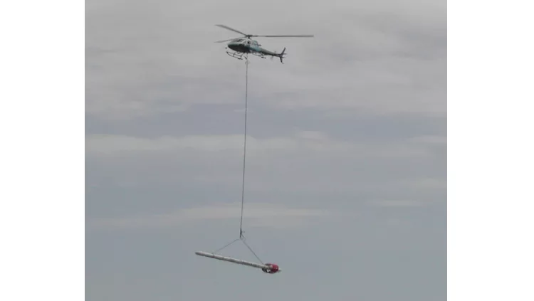
If you see low flying helicopters around the tri-state area the next couple months, nothing to be concerned about, the United States Geological Survey is conducting low-level helicopter flights as part of a project surveying the Driftless Region.
The flights will be carried out this month and wrapping up around December weather and flight-restriction permitting.
The flights based out of the Dubuque Regional Airport, will cover areas within Dubuque, Clayton, and Jackson counties in Iowa; Grant and Lafayette counties in Wisconsin; and Jo Daviess County in Illinois.
The helicopters will fly along pre-planned flight paths that are about 100 to 200 feet above the ground.
The USGS says the data collected will improve understanding of critical mineral resource potential, water resources, groundwater pathways near legacy mining areas, parameters for infrastructure and land use planning.